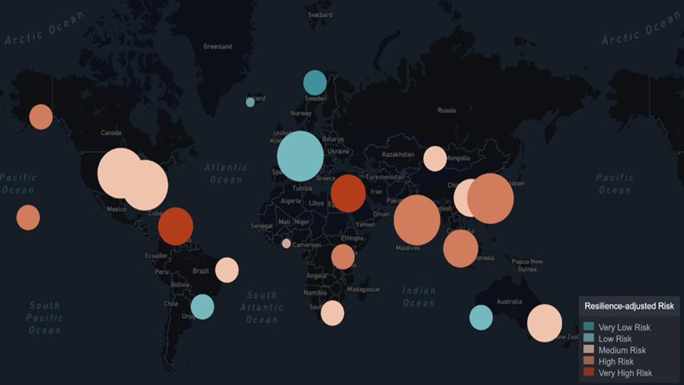
Physical climate hazards such as floods, fires, hurricanes, heatwaves and drought are becoming more acute, making adaptation a central priority for governments, industry and asset managers everywhere. That is why AlphaGeo continues to evolve its integrated spatial index that combines risk and adaptation measures, delivering a “ground truth” view for any location worldwide.
Indeed, the future profile of any place isn’t what a climate risk model tells us today — it’s what we do about it.
In addition to our proprietary climate physical risk forecasting (covering all risks under multiple CMIP6 scenarios and timescales), we have introduced a comprehensive “adaptation layer,” which includes water treatment and sanitation facilities, desalination plants, seawalls, flood barriers, fire monitoring stations and more. This combined risk and adaptation data guides authorities in understanding the gaps to be addressed in their locations and measures that can be taken to achieve greater resilience.
On AlphaGeo’s new “Explore” page (https://alphageo.ai/explore/), users can toggle physical risk and resilience-adjusted data for sample locations in Florida, California and the United Kingdom, watching their scores change over different time periods and benchmark location performance against others.
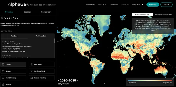
To access all the features described above as well as modeling location performance under multiple climate scenarios, create an institutional account or contact us for a demo by emailing info@alphageo.ai.
We look forward to your visit to www.alphageo.ai!