


Climate Risk
Climate risk, resilience, and financial impact for the US semiconductor ecosystem
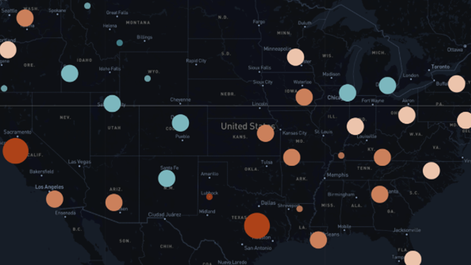
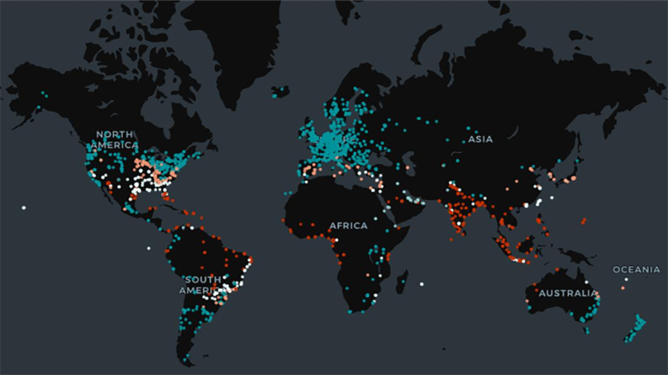
This report analyzes how physical climate risk could reshape the US semiconductor ecosystem by mid-century. Across 555 facilities, AlphaGeo examines resilience-adjusted risk and the
